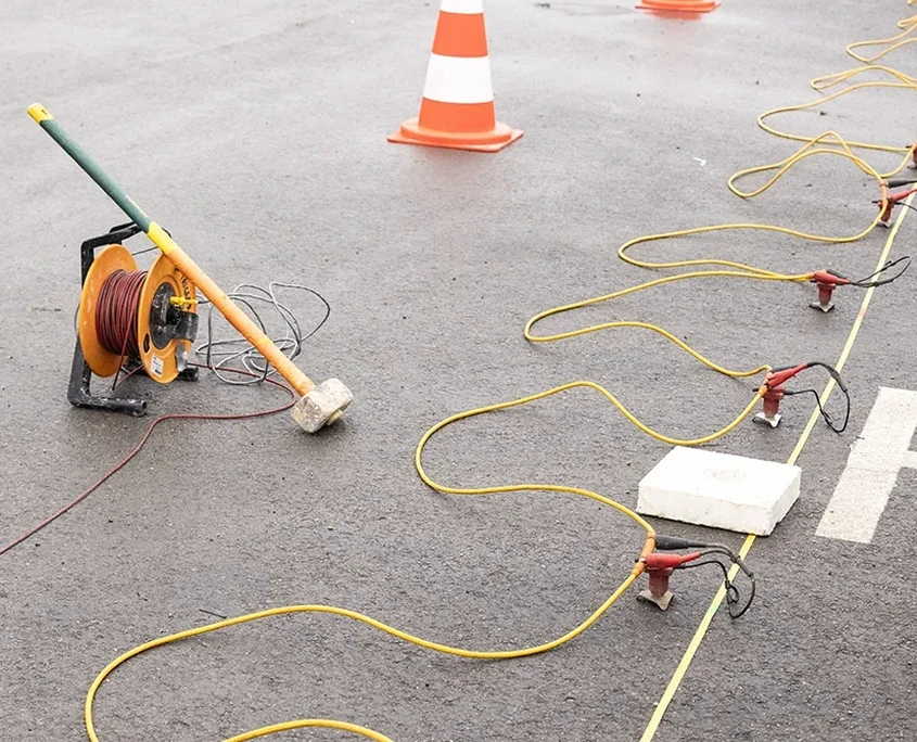
Geophysics in Stoke-on-Trent encompasses a suite of non-intrusive investigation techniques that measure the physical properties of the ground to map subsurface conditions without the need for extensive excavation. These methods are fundamental to modern site characterisation, allowing engineers and developers to identify buried obstructions, assess soil and rock stiffness, locate voids from historical mining, and evaluate groundwater conditions. In a city with such a complex industrial legacy, relying solely on traditional intrusive investigations can leave significant gaps in the ground model. Integrating geophysical surveys provides the lateral continuity that discrete boreholes or trial pits cannot, creating a more robust and cost-effective understanding of a site from the earliest stages of a project.
The local geology of Stoke-on-Trent is dominated by the Carboniferous Coal Measures, a sequence of interbedded sandstones, siltstones, mudstones, and numerous coal seams that fuelled the region's pottery and mining industries for centuries. This stratigraphy is overlain in many areas by glacial till, alluvial deposits along river valleys, and extensive areas of man-made ground from spoil tips and backfilled quarries. The presence of shallow, unrecorded mine workings and poorly compacted fill materials presents a significant geohazard. Geophysical methods are uniquely suited to tackling these challenges, as the physical contrast between a void, collapsed material, and intact bedrock is often stark enough to be detected by techniques such as seismic surface wave analysis or electrical resistivity profiling.
Regulatory compliance in the UK heavily underpins the demand for geophysical surveys. National planning policy, enforced locally by Stoke-on-Trent City Council, requires a thorough Coal Mining Risk Assessment for developments within Development High Risk Areas. While a desk-based report is the first step, geophysics provides the physical evidence needed to satisfy planning conditions where records are absent or unreliable. Furthermore, the assessment of ground stability and the determination of seismic site class for structural design must adhere to Eurocode 8 (BS EN 1998-1:2004), which explicitly requires the measurement of the average shear wave velocity in the upper 30 metres. Services such as MASW / VS30 (shear wave velocity) surveys are therefore not just a technical preference but a code-driven necessity for ensuring earthquake-resistant design, even in areas of low seismicity.
The types of projects requiring geophysics in Stoke-on-Trent are diverse. Residential developers on former colliery or pottery brownfield sites must demonstrate to regulators that any historical shafts or shallow workings have been precisely located and properly treated. Civil engineering projects, from road widening to new commercial structures, use these surveys to map bedrock depth and assess rippability. Environmental consultants face the challenge of delineating subsurface contamination plumes and locating buried waste, a task for which electrical resistivity / VES (Vertical Electrical Sounding) is particularly effective, as it can map variations in pore fluid chemistry and distinguish between clean and impacted ground. Heritage restoration projects also benefit, using geophysics to locate buried kilns or archaeological features without disturbing sensitive ground.
Standard investigations using boreholes provide data at discrete points but can easily miss localised hazards like mine shafts or backfilled pits common in Stoke-on-Trent's Coal Measures geology. Geophysics fills these spatial gaps by providing continuous subsurface profiles, significantly reducing the risk of encountering unforeseen and costly ground conditions during construction.
Seismic methods, such as MASW, measure the ground's mechanical stiffness by analysing the speed of surface waves, providing direct data for foundation design and seismic site classification. Electrical resistivity measures the ground's ability to conduct an electric current, which is highly sensitive to changes in moisture, clay content, and groundwater contamination, making it ideal for environmental and geological mapping.
No, most geophysical surveys are non-intrusive and require minimal surface preparation. Equipment is portable and arrays can be set up within constrained spaces, around existing structures, and on operational sites. The key requirement is a clear line for the survey cable, making these techniques suitable for both greenfield and complex brownfield environments.
Planning authorities require evidence that historical mining hazards have been investigated. While a Coal Mining Risk Assessment identifies the potential risk, a geophysical survey provides the physical evidence to confirm the presence or absence of shallow workings. This data is often essential to discharge planning conditions and allow a safe, compliant development to proceed.
We serve projects in Stoke-on-Trent and surrounding areas. More info.