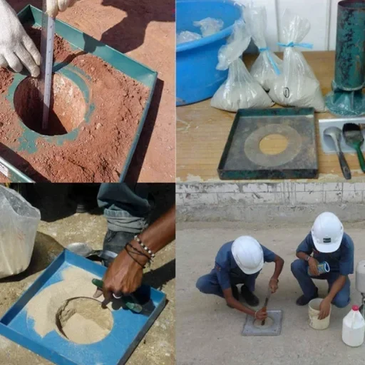
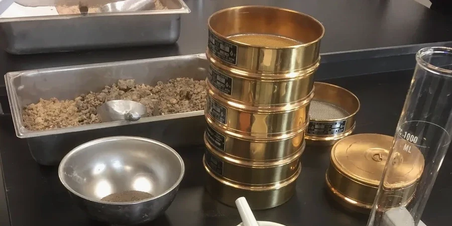
Compaction verification on Stoke-on-Trent's post-industrial terrain is never routine. The city's landscape, shaped by centuries of coal mining, pottery marl extraction, and ironstone workings, leaves a legacy of made ground and variable fill that demands precise in-situ control. BS 1377-9:1990 and BS 5930:2015+A1:2020 set the framework, but local execution is everything. In our experience, the sand cone method (ASTM D1556 equivalent under BS practice) remains the most direct way to confirm that a specified relative compaction has been achieved — particularly where nuclear gauges face regulatory hurdles or access constraints near the Caldon Canal corridor. This test measures the dry density of compacted soil by excavating a small test hole, determining its volume with calibrated sand, and comparing the result against the laboratory maximum dry density from a Proctor test. The difference tells the engineer whether the fill will settle or hold. In a city where a new housing estate might sit atop a backfilled marl pit, that number matters.
The sand cone test provides a direct, physical measurement of in-place density — no calibration curves, no radiation source, just a hole, sand, and a scale.