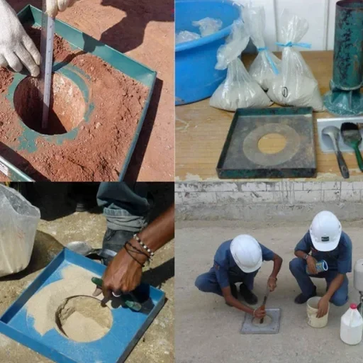
The ground conditions across Stoke-on-Trent vary sharply between the Etruria Marl of the southern districts and the glacial sands and gravels that overlie the Middle Coal Measures further north near Tunstall. In Trentham, weathered sandstone can transmit water at rates an order of magnitude faster than the stiff clays found beneath Hanley, making permeability assumptions based solely on borehole logs unreliable. When foundation drainage or dewatering calculations rely on textbook values rather than site-specific data, the margin for error increases substantially. A field permeability test—whether a falling-head Lefranc test in granular material or a Lugeon packer test in fractured bedrock—provides the hydraulic conductivity figure that Eurocode 7 requires for serviceability limit state verification. For sites within the former mining districts of Stoke-on-Trent, where backfilled shafts and collapsed workings disturb natural drainage paths, a single in-situ permeability profile often reveals flow regimes that desk-study predictions would miss entirely.
A single Lugeon value of 5 to 10 units in fractured Coal Measures sandstone can double the dewatering requirement compared with intact mudstone, reshaping the whole earthworks programme.