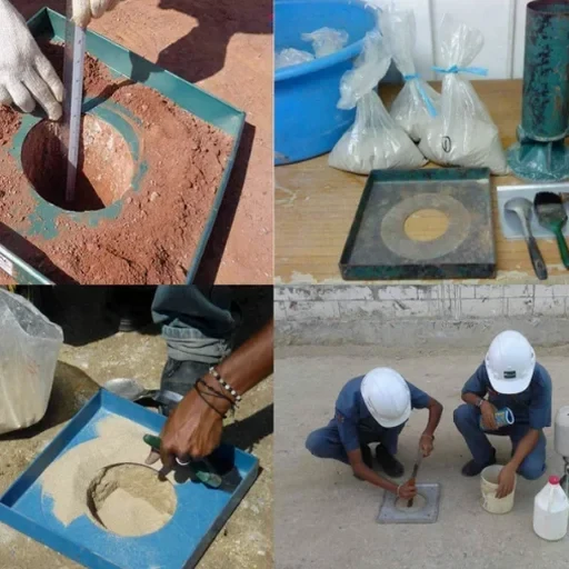
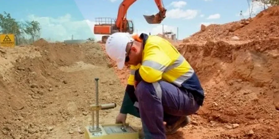
The superficial geology beneath Stoke-on-Trent tells a story of glacial till, alluvial sands, and Carboniferous coal measures that directly influence how seismic waves propagate toward the surface. With the city straddling the upper Trent Valley and its tributaries, soft compressible clays and loose fluvial deposits overlie the Pennine Middle Coal Measures, creating impedance contrasts that can amplify ground motion even at modest epicentral distances. Our technical team approached a recent assessment in Hanley where site response analysis was mandatory for a critical bridge replacement over the Caldon Canal, combining downhole shear-wave velocity profiles with MASW surface arrays to resolve the transition from stiff boulder clay to underlying sandstone. The microzonation framework we apply follows BS EN 1998-1:2004 and the UK National Annex, producing local hazard spectra rather than relying on generic PGA values from the British Geological Survey's national hazard model. Every dataset feeds into 2D site response models that account for Stoke-on-Trent's subtle but significant basin-edge effects, particularly where the Etruria Formation outcrops against drift-filled channels.
Vs30 values below 240 m/s across the Trent Valley floor routinely push Stoke-on-Trent sites into Site Class D, demanding response spectra that depart significantly from the UK National Annex's generic provisions.