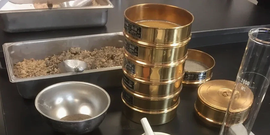
A contractor on a brownfield site off Shelton New Road hit a layer of fine silty clay at 2.5 metres, completely different from the weathered marl shown on the historical borehole logs. The structural engineer needed a full particle size distribution within 48 hours to recalculate bearing capacity. We see this regularly across Stoke-on-Trent, where the drift geology shifts from glacial till to alluvial silts over distances of less than 50 metres. A combined sieve and hydrometer analysis gives you the full curve, from coarse sand down to the clay fraction, so you are not guessing what lies beneath. It is the foundation of every classification and the starting point for any reliable geotechnical model in the Potteries.
A single hydrometer reading can change the classification from silty sand to clayey silt, and that changes the entire earthworks specification.